Facilitating the protection and restoration of species and ecosystems at risk on BC’s South Coast
Mapping Tools

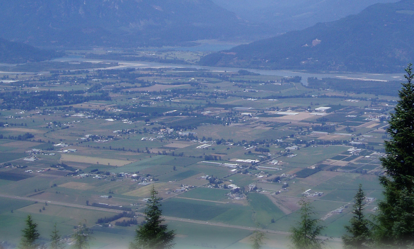
There have been a number of efforts to map out the ecological values of the South Coast's landscapes from the historic vegetation surveys of the Lower Fraser from the 1890's to the soil maps of southern BC. Captured here is a sampling of the resources out there representing a snapshot in time of the Lower Mainland's past ecological capital, providing a reminder of how much has changed and been lost over just a couple of generations.
Where available we have also included the pdf's of the associated notes and reports ("attribute data") that accompanied the maps or from which the maps were derived. Special thanks to Environment Canada-Canadian Wildlife Service for making many of these available!
 Looking for mapping related to species at risk occurrences or recovery planning? You can download static images and "shapefiles" of critical habitat maps found in finalized recovery stratrgies for most threatened and endangered species through the Government of Canada's Critical Habitat for Species at Risk, British Columbia portal. Provincially, the BC Conservation Data Centre has a useful mapping interface ("iMap") for many species, including those at risk (either listed under SARA or red or blue listed under the BC Conservation Framework). At the regional level, Metro Vancouver has a Sensitive Ecosystem Inventory Mapping App available that displays ecologically significant and relatively unmodified Sensitive Ecosystems including wetlands, older forests and woodlands. It also includes human Modified Ecosystems that retain ecological value such as seasonally flooded agriculture fields or young forests. And don't forget to check out the various online map resources available through your local municipality.
 The Community Mapping Network of BC, a long-time partner of the SCCP, is a one-stop shop for regional atlases, with databses ranging from eelgrass mapping to wildlife tree data!

The Islands Trust Conservancy has been mapping the ecosystems and plant communities throughout the islands of the Salish Sea, to determine which ecosystems are most rare and which are most threatened by development. The Islands Trust Conservancy uses ecosystem mapping to focus our time and money on those ecosystems in greatest need of protection.
 Looking for information about 'what lies beneath' our feet on the South Coast? In our resources section below you can download the soil maps and accompanying report for the Fraser Valley, or check out the cool geological maps through Geomap Vancouver.
 Sensitive Ecosystem Inventory for Metro Vancouver 2010-2012: A Sensitive Ecosystem Inventory (SEI) was conducted for Greater Vancouver Regional District (Metro Vancouver) and Abbotsford from January 2010 – May 2012. The project was initiated in response to the need for up-to-date, standardized ecological information for the entire region to support future decision making. Access the map application and download the technical report.
RESOURCES
This unique map of historic vegetation communities of the southwest Fraser Lowlands (1858-1880) was published by Environment Canada and is based on the "Brief Guide to the Land Surveyors Notebooks of 1859-1890" by M. North, D. Holdsworth and J. Teversham published in 1977 (available below). The map and the associated reports provide valuable insights into the historic ecological communities that may have (and in many areas still do) provide habitat for a range of species at risk. *Please note the poster PDF is based on a high resolution graphic, best reproduction size is as a 30x40 poster.
Accompanying map of the historic floodplain vegetation communities of the Lower Fraser, Serpentine and Nickomekl Rivers, digitally converted in the 1990's by DFO and Environment Canada - CWS.
Map of the New Westminster District 1876 (western portion from Mission to the Salish Sea. Compiled with the assistance of Margaret North and Jan Teversham UBC.
A guide for interpreting the vegetation mapping in the large format Fraser Lowlands vegetation map and a review of the original surveyors notes from which the map was developed. M. North and J. Teversham
A review of the extent of wetland and forest cover loss in the Fraser Lowlands from the time of initial colonial contact and settlement. European settlement began in the Lower Fraser Basin (LFB) in western British Columbia in 1827 and has impacted the basin ecosystem in a number of ways, especially affecting the vegetation. Using previously published data, air photos, and other historical material for the area, estimates of land cover were made for the years prior to 1827 and for 1930 and 1990. C.A. Boyle et al 1997.
Royal BC Museum, BC Archives. Detail from original map
RBCM Archives Detail from original map
Historically one of the largest wetland complexes in the Fraser Valley, "Sumas Lake was a body of water between Sumas and Vedder mountains, midway between the present-day cities of Chilliwack and Abbotsford, British Columbia. Its name means "a big level opening" and is a reference to the site of the lake, which lay between Sumas Mountain and its American counterpart, Sumas Mountain, Washington, part of the foothills of the Cascade Mountains. The lake extended into Whatcom County, Washington, necessitating a railway trestle of the British Columbia Electric Railway across it from Huntingdon to the foot of Vedder Mountain remains today as a dyke. Originally, the lake occupied 40 km² (15 mi²) and swelled to 120 km² (47 mi²) during flooding. The lake was drained in order to create more farmland in the fertile region of the Fraser Valley and also to reduce mosquito infestations in the region." (Source Wikipedia). While draining Sumas Lake provided a gain in farmable area it also eliminated one of the richest stillwater habitats on the South Coast which once supported large populations of overwintering waterfowl, migrating shorebirds and amphibians, possibly even one of our rarest species the Oregon Spotted Frog.
Drafted by Major J. I. Matthews Vancouver Archivist 1931
This map is a large format display of the eastern portion of the soil survey area conducted by the federal Department of Agriculture in 1939. The information and accompanying survey report is a useful snapshot for identifying historic soil types that may have supported various ecological communities (e.g. wetlands, grassland and forests).
The western portion of the 1939 soil survey
Accompanying report to the maps. Written by C.C. Kelly and R.H. Spillsbury.
This report provides land use change and land cover change analysis and mapping products for the lower mainland region of British Columbia as defined by the Greater Vancouver Regional District (GVRD). Delivered with this project is a multi-temporal spatial database of land cover and land use for the GVRD, which can serve as a base for environmental, planning, land evaluation, and other applications.